
 Here are the details of maps for Weymouth:

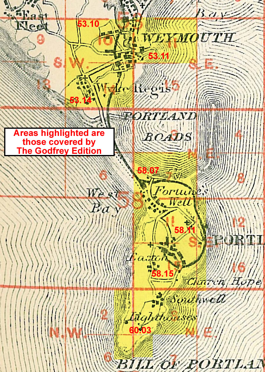
We have published three detailed maps for Weymouth, and these link up with each other to form a good group for the town. Here are details of the maps:
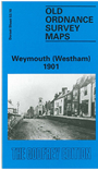
The Weymouth Westham map covers the NW area of the town, with coverage stretching from the North Quay and High West Street northward to Chafey's Lake, and westward to the Marquis Farm, and Marquis of Granby pub. Features include Melcombe Regis Burial Ground, Abbotsbury Road, Chickerell Road, Weymouth Burial Ground, Gas Works, Newstead Road, much of Radipole Lake. On the back is an extract from the commercial directory for Weymouth, entries A-G.
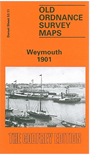
The Weymouth map is the main map and covers the centre of the town. For maximum coverage we include two sheets, 53.11 and 53.15 printed side by side. Coverage stretches from Westerhall Road and Carlton Road southward to Belle Vue Road, the Portland Breakwater or Bincleaves Groyne. Features include Melcombe Regis, station, Hotel Burdon, eastern edge of Radipole Lake, Gloucester Hotel, St Thomas's Street, Pile Pier, railway to harbour, Custom House Quay, Alexandra Gardens, Weymouth Bridge, Harbour, Trinity Road, Nothe Point, Hope Square, Weymouth Brewery, Hope Brewery, malthouses, Bincleave Rocks, shipbuilding yards. On the back is a list of private residents from a contemporary directory.
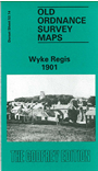
The Wyke Regis map covers the SW of the town and is double-sided for maximum coverage. The main map covers the area from Rodwell and Rodwell Road southward to Park Mead Farm, and westward to Wyke Regis, still largely a separate village. Features in Weymouth include the Workhouse, Rodwell station, Belfield House, Sandsfoot Castle, St Nicholas church, Springfield, Wyke Road. Features in Wyke include All Saints church, Wyke House. The backing map, a large extract from sheet 58.02, continues coverage southward to the Chesil Bank; Portland Bridge and Small Mouth are in the centre of this map, which shows the link between Portland and Weymouth. Features include East Fleet, Royal Victoria Hotel.
You might find this index map useful.