We have published more than 2,200 maps in our series of Old Ordnance Survey Map reprints, and the series includes a very good group for Birmingham and the West Midlands. The maps are highly detailed. They are taken from the OS 1:2,500 (or 25 inch) maps and reduced to about 15 inches to the mile. They show streets with individual houses, tram tracks, railway tracks and even signals, factories, wharves and such details as fountains and water troughs. They will provide hours of fascination for historians and genealogists. The maps are neatly folded and each includes a specially written introduction to the area. Maps can be purchased on our On-line Mapshop. For other information and Prices, see Index Page.
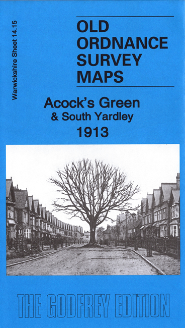
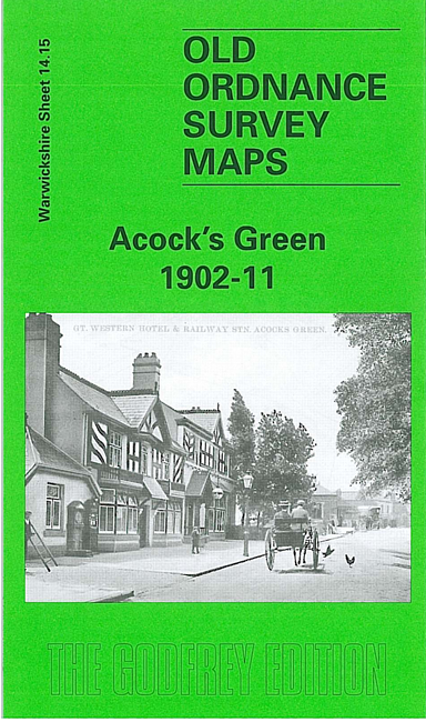
Here are the details of maps for Acock's Green:
This detailed map covers the village of Acock's Green, east of Birmingham, at the time when it was growing into a substantial suburb. Our map is taken from the interesting 'Inland Revenue Special Edition', a survey of 1902 but with partial revision to 1911. Coverage stretches from Knight's Road eastward to Lyndon Farm and the county boundary, and from the cemetery southward to Botteville Road. Although we have given the map its Warwickshire sheet number, it also serves as Worcestershire sheet 6.15.
Features include GWR railway with Acock's Green station, part of Tyseley, Stockfield, Cottsbrook House, Warwick & Birmingham Canal, nursery, allotments, St Mary's church, Pioneer Cabinet Works, Tyseley Farm, Stockfield Hall, cycle accessory works, Redstone Farm. The route of the new GWR line towards Stratford is shown but not the track. On the reverse we include street directory entries for Alexander Road, Arden Road, Augusta Road, The Avenue, Bottville Road, Broad Road, Flint Green Road, Florence Road, Oxford Road, Sherbourne Road, Warwick Road, Yardley Road.
The map links up with sheets 14.11 South Yardley to the north, 14.14 Sparkhill to the west.
For a full list of maps of Warwickshire, please go to the Birmingham page or (for areas outside Birmingham) to the Warwickshire page.
You can order maps direct from our On-line Mapshop. For other information and prices, and other areas, go to The Index Page.
Maps in the Godfrey Edition are taken from the 25 inch to the mile map and reduced to about 15 inches to the mile. For a full list of maps for England, return to the England page.
Alan Godfrey Maps, Prospect Business Park, Leadgate, Consett, Co Durham, DH8 7PW / godfreyedition@btinternet.com / 13 April 2009