

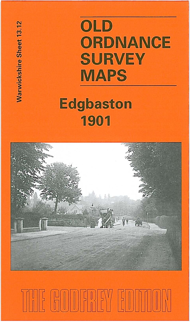
 Here are the details of maps for Edgbaston:
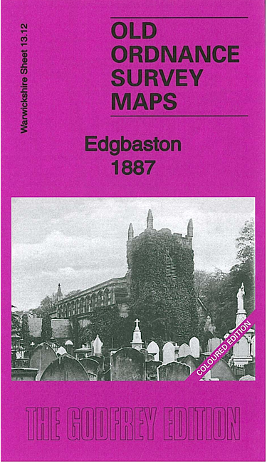


We have published three versions of this map, showing how the area changed across the years.
This detailed map covers much of Edgbaston, with coverage stretching from Norfolk Road eastward to Elvetham Road, and from Five Ways station southward to Somerset Road. The eastern part of Harborne is also shown, as is the Calthorpe Fields area.
Features include Edgbaston Park, Edgbaston Hall, Midland Railway West Suburban Branch with Somerset Road, Church Road and Five Ways stations, Cottesmore Priory, Hallfield, St James church, General Institution for the Blind, Royal Institution for Deaf & Dumb Children, Mariemont, Worcester & Birmingham Canal, Botanical Gardens, Harborne Hill House, Chad Hill, Chad Valley, Oak Mount, many large houses and villas, St Bartholomew's church, etc. Note that Edgbaston cricket ground is not on this map. Directory extracts are included on the reverse.
The 1887 version is fully coloured, taken from the beautiful 1st Edition OS handcoloured map.
The map links up with sheets 13.08 Birmingham West to the north, 13.11 Harborne to the west, 14.09 Birmingham South to the east and 13.16 Bournbrook to the south.