
 Here are the details of maps for Oldbury:

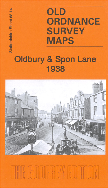
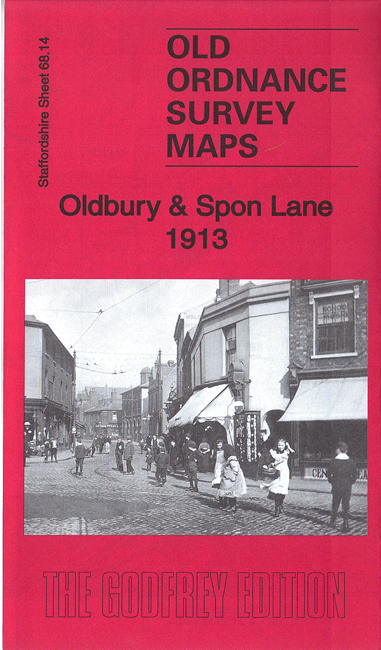
We have published three versions of this map, showing how the area changed across the years. Each covers the eastern part of Oldbury, southern part of West Bromwich, and West Smethwick. Coverage stretches from Church Street Oldbury eastward to Kenrick Park, and from Lyttleton Street southward to St Paul's Road. The map doubles as Worcestershire sheet 2.14.
Features include Hamblet's Brick Works (top left corner), Bromford Iron Works, Oldbury Railway Carriage Works, Christ Church, Tharsis Works, Springfield Chemical Works, Birmingham Canal (Old Line), Birmingham Canal (Wolverhampton Level), Birmingham Canal (Birmingham Level), Victoria Colliery, LNWR Stour Valley line with Oldbury and Spon Lane stations, Glass Works, trams and depot, short stretch of GWR Stourbridge line with Smethwick Jct station, Spon Lane Colliery (disused), Hollow Ware Manufactory, Kenrick Park, Holy Trinity church, Stour Valley Works, St Paul's church, British Queen Brewery, Good Shepherd's church, Lyttleton Hall, short stretch of GWR Birmingham & Dudley line, BCN Titford Feeder etc.
The map links up with Staffordshire sheets 68.10 West Bromwich to the north, 68.13 Brades Village to the west, 68.15 Hawthorns to the east and Worcestershire sheet 5.02 Langley to the south.