We have published more than 2,000 maps in our series of Old Ordnance Survey Map reprints, including a group in Somerset. The maps are highly detailed. They are taken from the OS 1:2,500 (or 25 inch) maps and reduced to about 15 inches to the mile. Each covers an area of a mile and a half by a mile. They show streets with individual houses, tram tracks, railway tracks and even signals, factories, wharves and such details as fountains and water troughs. They will provide hours of fascination for historians and genealogists. The maps are neatly folded and each includes a specially written introduction to the area. Maps can be purchased on our On-line Mapshop where further information about titles is given. Or visit The Index Page for a full list to the series and details of Prices.
Here are the details of maps for Radstock:
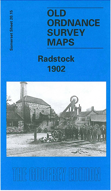
This detailed map provides good coverage of Radstock and the surrounding area. Coverage stretches east to include Writhlington and west beyond Middle Pit Colliery and Wells Road. Features include Radstock town centre with its busy railway lines, the Collieries of Tyning, Ludlow's, Upper Writhlington and Lower Writhlington, St Nicholas's Church, St Mary Magdalen's Church, Tramway, Radstock Mill, and Brewery.
We do not think of Somerset as an industrial county, but the Radstock map is certainly an industrial one, with its 4 collieries, 2 wagon works, complex of railways, and miners' housing on the hillside.
You might find this index map useful.
Follow this link for a complete list of our Somerset Series maps.
You can order maps direct from our On-line Mapshop.
For other information and prices, and other areas, go to The Index Page.
Maps in the Godfrey Edition are taken from the 25 inch to the mile map and reduced to about 15 inches to the mile.
For a full list of maps for England, return to the England page.