Old Ordnance Survey Maps of Slough


We have published more than 2,400 maps in our series of Old Ordnance Survey Map reprints, including a group in Buckinghamshire. The maps are highly detailed. They are taken from the OS 1:2,500 (or 25 inch) maps and reduced to about 15 inches to the mile. Each covers an area of a mile and a half by a mile. They show streets with individual houses, tram tracks, railway tracks and even signals, factories, wharves and such details as fountains and water troughs. They will provide hours of fascination for historians and genealogists. The maps are neatly folded and each includes a specially written introduction to the area. Maps can be purchased on our On-line Mapshop where further information about titles is given. Or visit The Index Page for a full list to the series and details of Prices.


  • Here are the details of maps for Slough:
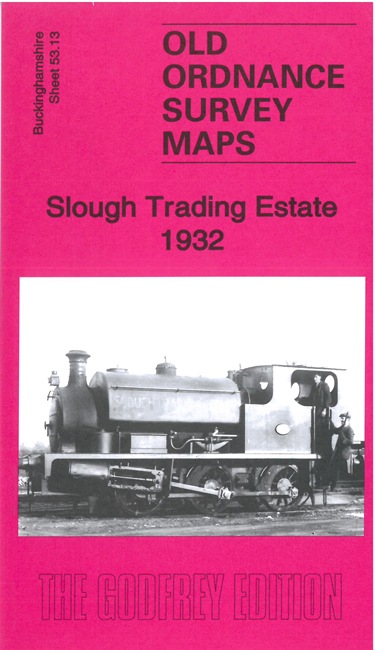
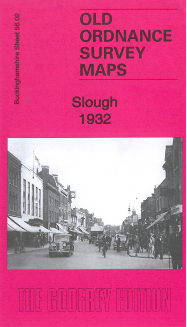
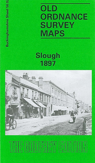
  • Buckinghamshire Sheet 56.02 Slough 1897 - published 1993; intro by Judith Hunter. ISBN.978-0-85054-581-4

    This detailed map covers the still growing town of Slough, which had developed from a village after the opening of the GWR. Features on the map include the railway with station, engine shed and junctions towards Windsor; Royal Hotel, North Star Hotel, Gotha Iron Works, High Street, William Street, Windsor Road, Mackenzie Street, St Mary's church, Eton Union Workhouse, Royal Nurseries. Coverage extends south to Victoria Terrace and east to Aldin House or St Bernards Convent and a small portion of the new development, Langley New Town. The Slough entry from Bennett's Business Directory is on the reverse.

    The map links up with Bucks Sheet 56.05 Eton and Berks Sheet 32.10 Windsor to the south. This index map shows how they link up.


    Follow this link for a complete list of our Buckinghamshire Series maps.

    You can order maps direct from our On-line Mapshop. For other information and prices, and other areas, go to The Index Page.


    Maps in the Godfrey Edition are taken from the 25 inch to the mile map and reduced to about 15 inches to the mile. For a full list of maps for the Buckinghamshire area, return to the Thames & Chilterns page

    The Godfrey Edition / godfreyedition@btinternet.com / 27 Dec 2010