We have published more than 1,800 maps in our series of Old Ordnance Survey Map reprints, some 300 of them in the London area. The maps are highly detailed. They are taken from the OS 1:2,500 (or 25 inch) maps and reduced to about 15 inches to the mile. They show streets with individual houses, tram tracks, railway tracks and even signals, factories, wharves and such details as fountains and water troughs. They will provide hours of fascination for historians and genealogists. The maps are neatly folded and each includes a specially written introduction to the area. Maps can be purchased on our On-line Mapshop where further information about titles is given. Or visit The Index Page for a full list to the series and details of Prices.
Here are the details of maps for Sidcup & Foots Cray:
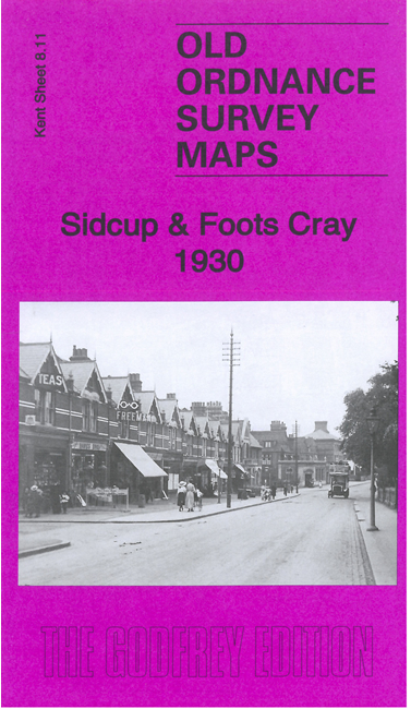
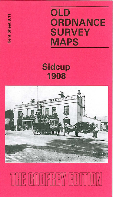
This detailed OS map covers the area from Stafford Road eastward to Foots Cray Place, and from Manor Road southward to Frognal Corner. St John's church, Place Green and the Manor House are in the centre of the map, with Sidcup itself to the NW, and part of Foots Cray to the SE. Features include Sidcup High Street, part of Foots Cray High Street, All Saints church, Longlands Nursery, Sidcup Place, Hatherley Road, Christ Church and Christ Church Road, Main Road, The Drive, Ursula Lodges. Also extensive grounds around Foots Cray Place, an elegant house built in the style of the Palladian Villa Rotunda at Vicenza in 1754, for a London pewterer Bourchier Cleeve, but demolished after a fire in 1949; the grounds include The Canal. A mill at Foots Cray dated from 1767 and is shown here in use as a Photographic Film Manufactory. The map is therefore interesting for showing the still growing suburb of Sidcup but also much of the old village of Foots Cray. On the reverse we include directories for Clarence Crescent, Clarence Road, Granville Road, Hadlow Road, Hatherley Road, High Street, Sidcup Hill, Sidcup Green.
An index map showing the areas covered by this and adjacent Kent maps is available here. The map links up with Kent Sheets 8.07 Lamorbey to the north, 8.10 Chislehurst North to the west, 8.12 North Cray to the east.
Follow this link for a complete list of our London Series maps or this for a list of the Kent Series maps.
You can order maps direct from our On-line Mapshop. For other information and prices, go to The Index Page.
Maps in the Godfrey Edition are taken from the 25 inch to the mile map and reduced to about 15 inches to the mile. For a full list of maps for London, return to the London page
The Godfrey Edition / godfreyedition@btinternet.com / 26 October 2005