
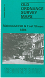
 Here are the details of maps for Richmond Hill:

We publish just the one version for this map, which covers the eastern part of Richmond, together with the East Sheen area of Mortlake. (See Sheet 110 Richmond for the main map of Richmond town.) This covers an area stretching from The Terrace and Friars Stile Road eastward to Sheen Lane and Sheen House, from a short stretch of the railway southward to the Star & Garter Hotel. Features include the Wesleyan College, workhouse, cemetery, Bog Lodge, Conduit Wood, Sheen Common, Sheen Wood, Upper Richmond Road. There are street directories for Church Road, Mount Ararat Road, Queens Road, Sheen Road, Sydney Road and a few others.
The map links up with Sheets 97 North Sheen to the north, 110 Richmond to the west, and 112 Roehampton to the east.
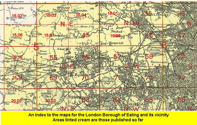 Follow this link for a list of our maps for the London Borough of Ealing, or here for a complete list of our London maps .