
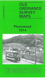
 Here are the details of maps for Plumstead:
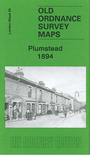

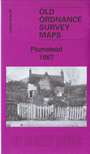
We have published three versions of this map, showing how the area developed across the years. The map covers an area stretching from Plumstead station eastward to Shieldhall Street at Abbey Wood, and southward to Plumstead Common and Bostall Woods.
Features include tramways, Woolwich Workhouse, St Nicholas church, Goldie Leigh Cottage Homes, the Manor Ground (Arsenal's second ground). We include extracts from directories on the reverse.
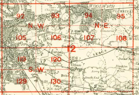
The map links up with London Sheets 82 Plumstead Marshes to the north, 94 Woolwich to the west, 108 East Wickham to the south; also with Kent Sheet 2.12 Belvedere to the east.
 Follow this link for a complete list of our London maps .