
 Here are the details of maps for Pimlico:

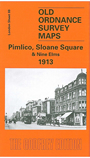
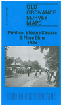
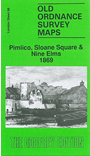
We have published three versions of this map, showing how the area developed across the years. The maps each cover the same area, an area stretching from Chelsea Royal Hospital eastward to Vauxhall Bridge, from Sloane Square southward to Battersea Park. The map therefore coverrs the eastern part of Chelsea, Pimlico, and a small part of Battersea. On the south side of the Thames a major feature is the Nine Elms area, including several wharves and the Nine Elms Goods Depot. North of the river major features include the railway approaches to Victoria (though the station is on the Westminster map), Sloane Square, Chelsea Barracks, Ranelagh Gardens, Lupus Street, Warwick Street, Chelsea Suspension Bridge, Vauxhall Bridge, Belgrave Road, Millbank Barracks. The 1869 map has Millbank Prison (in some detail). The 1913 map has the Tate Gallery and Queen Alexandra Military Hospital in its place. The 1869 map is so detailed that even mixed gauge railway track is shown - the GWR had access to Victoria.
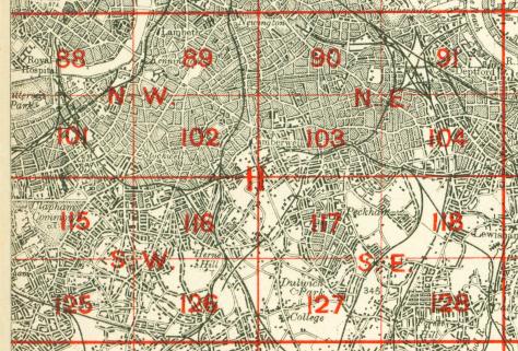
The map links up with London Sheets 75 Westminster to the north, 87 Chelsea to the west, 89 Kennington to the east, 101 Battersea & Clapham to the south.
 Follow this link for a complete list of our London maps .