Old Ordnance Survey Maps of Monmouthshire

  • These detailed maps normally cover an area of about one and a half miles by one mile. Each map includes an introduction.
  • They are available through our On-line Mapshop

  • Here are details of our map for Newport Docks:

  • Monmouthshire Sheet 33.08 Newport Docks 1920 - published 2019; intro by Barrie Trinder. ISBN.978-1-78721-289-3

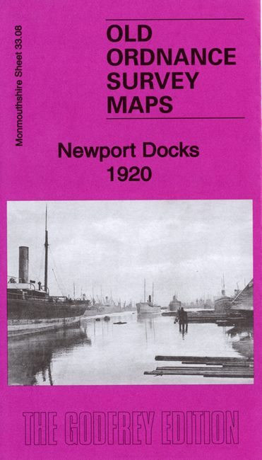
    This detailed map covers the Docks area south of Newport. On the reverse we include a large section of adjacent sheet 33.12, extending coverage.

    Features include Alexandra Docks North Dock, many sidings and coal hoists, part of South Dock, Alexandra Docks Railway East Quay Branch, Timber Float Branch, engine shed, Neptune Works, graving docks, Great Western Railway Castell Glas remains, engine shed etc. The map on the reverse includes the South Lock and Central Store Depot.

    The map links up with Monmouthshire Sheets 33.04 Newport South to the north.


  • Follow this link for a complete list of our Monmouthshire Series maps.
  • You can order maps direct from our On-line Mapshop. For other information and prices, and other areas, go to The Index Page.
  • Maps in the Godfrey Edition are taken from the 25 inch to the mile map and reduced to about 15 inches to the mile. For a full list of maps for Wales, return to the Wales page.
    The Godfrey Edition / sales@alangodfreymaps.co.uk / 29 November 2019