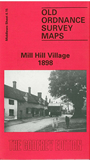
 Here are the details of maps for Mill Hill:

This detailed map covers the area of Mill Hill later known as the Village, which had become a 'gentleman's suburb' by 1800. Hamlets were at the summits of Bittacy and Milespit Hills, and large houses were strung along the line of the Ridgeway between them. This is still very much a rural map; frequent spot heights detail the climb up the two hills, and a group of buildings are shown where the two roads join - Grammar School, inns, almshouses etc. Major buildings include The Priory, St Vincent's School and Convent, Burton Bank, Bittacy House. To the east is empty countryside, apart from Frith Manor House and Nether Court. By cartographic contrast, on the reverse we include a 'Map of the Roads from London to Mill Hill & Barnet' by John Cooke, from 1792, an attractive early road map.
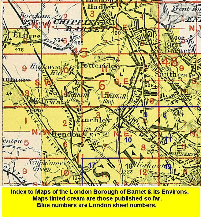
The map links up with Middlesex Sheets 6.11 Totteridge to the north, 6.14 Mill Hill Broadway to the west, 6.16 North Finchley to the east, and 11.03 Finchley & Holders Hill to the south.