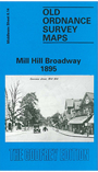
 Here are the details of maps for Mill Hill:

This detailed map covers the western part of Mill Hill, although at the time the lower end of Lawrence Street had not yet been renamed The Broadway; indeed the population was still under 2,000. This is reflected in a relatively rural map, although several streets are being laid out between Lawrence Street and Hammers Lane. The map covers an area from Lower Hale eastward to Mill Hill, Hammers Lane; the Midland Railway goes through the centre of the map, including Mill Hill station; Featherstone Hill is in the SE corner, and Holcombe Hill and St Paul's church are in the NE. Other features include St Josephs RC College, Lawrence Street Farm, Copthall Park, Upper Hale, Goldbeaters Farm. There is also a bonus on the reverse for here we include a large section of the 1st Edition six inch to the mile map for the area, surveyed in 1863-6; this shows a slightly wider area, from Lower Hale eastward to Mill Hill and Drivers Hill, and northward to Highwood Hill and Barnet Gate. Pamela Taylor's introduction is, as ever, a valuable history to the area.
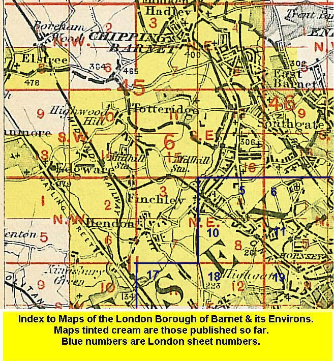
The map links up with Middlesex Sheets 6.10 Highwood Hill to the north, 6.13 Edgware to the west, 6.15 Mill Hill Village to the east, and 11.02 Burnt Oak to the south.