
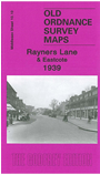
 Here are the details of maps for Rayners Lane:

This detailed map covers an area which was largely rural into the 20th century, but which developed rapidly in the 1930s. Coverage stretches from Rayners Lane westward to Lime Grove, Eastcote, and from Lulworth Drive southward to Clovelly Way. Features include Rayners Lane and Eastcote stations, cinemas (that at Rayners Lane is now a Zoroastrian centre), and many streets of villas, semis and small terraces. A directory of Eastcote private residents is included on the reverse.
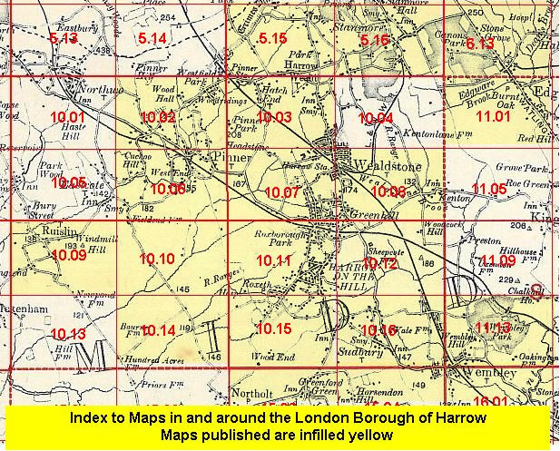
The map links up with Middlesex Sheets 10.06 Pinner South to the north, 10.09 Ruislip to the west, 10.11 Harrow on the Hill to the east and 10.14 Ruislip SE to the south.
 Follow this link for a list of our maps for the London Borough of Harrow, or here for a complete list of our London maps .