
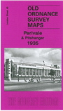
 Here are the details of maps for Perivale:
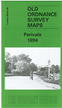

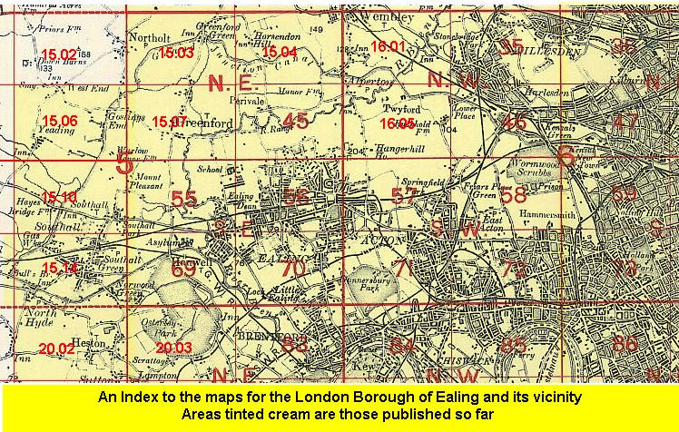
We have published two versions of this map, showing how the area developed across the years. Coverage stretches from Thames Avenue and Castlebar Park Halt eastward to Mulgrave Road, and from Wadsworth Road southward to Bruton Way.
This map covers the northern area of Ealing around Perivale and Pitshanger Lane. On the 1894 map the area is largely rural, but by 1935 it is more built up. Features then include Pitshanger Park, a short stretch of GWR West Ealing Loop with Castlebar Park Halt, Princess Helena College, University College Hall, St Barnabas church, Perivale church, Hoover factory, Western Avenue, Brentside Farm, athletic grounds, sewage works, Kent Hotel, golf courses, etc. On the reverse of the 1935 version we include a directory of Perivale.
On the reverse of the 1894 version we include part of a six inch to the mile map covering a wider area, including Perivale, Greenford Green, Horsendon Hill and a stretch of the Grand Junction Canal.
The map links up with London sheet 56 Ealing to the south; and with Middlesex Sheets 15.04 North Perivale to the north, 15.07 Greenford to the west and 16.05Hanger Hill to the east.
 Follow this link for a list of our maps for the London Borough of Ealing, or here for a complete list of our London maps .