Lincs Sheet 84.11 Skegness 1906 - published 2021; introduction by Alan Lamb. ISBN.978-1-78721-487-3 
This map of the seaside resort of Skegness is double-sided for maximum coverage.
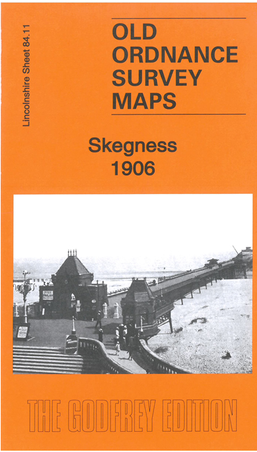
The main map covers the centre and north of the town. Features include the Pier, St Matthew's church, The Hall, Lumley Hotel,
Sundial House, The Park, Seaview Hotel, etc.
On the reverse we include part of adjacent sheet 84.15 extending coverage south to include the railway and station, Lumley Road, High Street and South Parade.
Follow this link for a complete list of our Lincolnshire Series maps.
You can order maps direct from our On-line Mapshop.
For other information and prices, and other areas, go to The Index Page.
Maps in the Godfrey Edition are taken from the 25 inch to the mile map and reduced to about 15 inches to the mile.
For a full list of maps for England, return to the England page.
Alan Godfrey Maps, Prospect Business Park, Leadgate, Consett, Co Durham, DH8 7PW / sales@alangodfreymaps.co.uk / 18 October 2021

 Here are the details of maps for Skegness: