
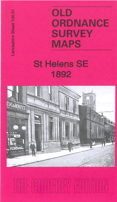
 Here are the details of maps for St Helens SE:
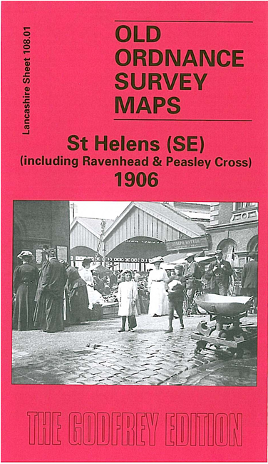

We have published two versions of this map, showing how the area changed cross the years.
The maps cover the SE area of St Helens, incl part of the town centre; coverage extends eastward to Parr Stocks, and southward to Burtonhead Farm and Sherdley Colliery. Numerous large glass works are shown, with their many railway sidings.
Features include Ravenhead Colliery, Liverpool & St Helens Colliery (disused), Sherdley Colliery, St Helens Sheet Glass Works, Sutton Lodge Glass Works, Sherdley Glass Works, St Helens Collieries, railways incl St Helens station, St Helens Hospital, Sutton Oak Brick Works, Sutton Glass Works (at foot of map), engine shed, Peasley Cross station, Sutton Oak station, Ravenhead Junction, Borough Sanatorium, Parr Manure Depot, Sutton Brick Works, St Mary's church, Market Hall, tramway, market, St Helens Canal etc.
The map links up with Lancashire Sheets 101.13 St Helens NE to the north, 107.04 St Helens SW to the west.