Old Ordnance Survey Maps of Liverpool (E)


We have published more than 2,200 maps in our series of Old Ordnance Survey Map reprints, including a large group for Merseyside. The maps are highly detailed. They are taken from the OS 1:2,500 (or 25 inch) maps and reduced to about 15 inches to the mile. Each covers an area of a mile and a half by a mile. They show streets with individual houses, tram tracks, railway tracks and even signals, factories, wharves and such details as fountains and water troughs. They will provide hours of fascination for historians and genealogists. The maps are neatly folded and each includes a specially written introduction to the area.

Maps can be purchased on our On-line Mapshop where further information about titles is given. Or visit The Index Page for a full list to the series and details of Prices.


Here are the details of maps for Liverpool (East):
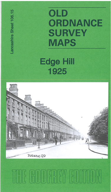
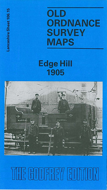
  • Lancashire Sheet 106.15 Edge Hill 1905 - published 1989; intro by Kay Parrott

    This detailed map covers a major area of east Liverpool, with coverage stretching from Grove Street eastward to Wavertree station, and from Edge Lane southward to Rosebery Street. Much of the map is crowded with streets of terraces, but notable features include Wavertree Park, Edge Hill station, Spekeland Road Depot, engine shed; numerous junctions, sidings and depots; Botanic Gardens, north end of Toxteth Park Cemetery, Phoenix Safe Works, tramways, bowling greens, coal yards, Mount Vernon Green, Windsor area, Edge Hill area, Wavertree West Ward, Tournament Hall, St Anne's RC church, Windsor Barracks, St Stephen's church, St Hugh's RC church, Edgehill Training College, St Mary's church, Confectionery Works etc. On the reverse we include street directory entries for Ashfield, Crown Street, Durning Road, Earle Road and Macdonald Street.

    This map links up with sheet 106.11 Newsham Park to the north, 106.14 Central Liverpool to the west, 106.16 Wavertree to the east and 113.03 Princes Park to the south.


    Follow this link for a complete list of our Liverpool or Southport & West Lancs maps.

    You can order maps direct from our On-line Mapshop. For other information and prices, and other areas, go to The Index Page.


    Maps in the Godfrey Edition are taken from the 25 inch to the mile map and reduced to about 15 inches to the mile. For a full list of maps for the North West, return to the North West page.

    The Godfrey Edition / godfreyedition@btinternet.com / 26 November 2008