
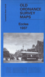
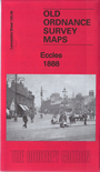
 Here are the details of maps for Eccles:
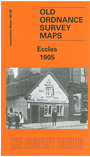

We have published three versions of this map, showing how the area changed across the years.
The town centre is in the SW corner of the map and coverage stretches east to Weaste Lane and northward to Cholmondeley Road. Features include Salford football ground, Ladywell Sanatorium, Salford Union Infirmary, Little Bolton, Victoria Church, tramways, Hope Hall, Weaste Hall, Hart Hill, St James chuch, LNWR railway with Eccles station and section of Docks Branch, Eccles Mill, quilt manufactory, St Mary's church, St Andrew's church, Market Place, Town Hall, Ellesmere Park, etc. On the reverse we include a selection of street directory entries.
The map links up with Lancashire sheets 103.04 Swinton Park to the west, 103.07 Patricroft to the west, 104.05 Salford West to the east and 103.12 Trafford Park to the south.