Old Ordnance Survey Maps of Wigan MBC

  • These detailed maps normally cover an area of about one and a half miles by one mile. Each map includes an introduction.
  • They are available through our On-line Mapshop

  • Here are the details of maps for Westleigh:

  • Lancashire 102.02a Westleigh 1905 - published 2012; intro by Derrick Pratt. ISBN.978-1-84784-599-3
  • Lancashire 102.02b Westleigh 1926 - published 2021; intro by Alan Godfrey. ISBN.978-1-78721-418-7

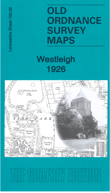
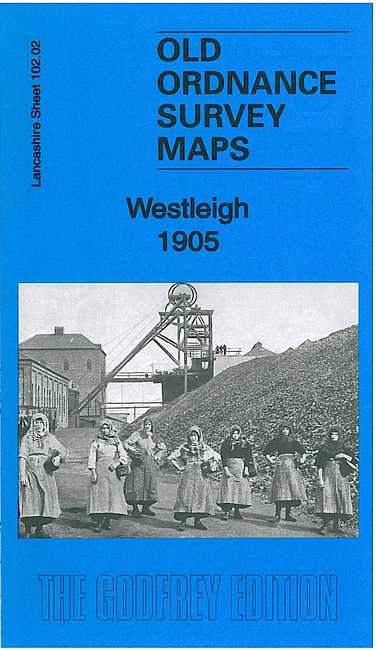
    We have published two versions of this detailed map, showing how the area changed across the years. They cover the western part of Leigh, with coverage from the Firs Lane area northward to Westleigh Collieries.

    Features include Abram Colliery, West Leigh Collieries, Firs Mills, Priester's Colliery, Parsonage Colliery, Firs Park, several railway lines, St Peter's church, etc

    The map links up with sheets 94.14 Hindley Green to the north, 102.01 Abram to the west, 102.03 Leigh North to the east and 102.06 Pennington Flash to the south.


  • Follow this link for a complete list of our Wigan or Bolton maps.
  • You can order maps direct from our On-line Mapshop. For other information and prices, and other areas, go to The Index Page.
  • Maps in the Godfrey Edition are taken from the 25 inch to the mile map and reduced to about 15 inches to the mile. For a full list of maps for the North West, return to the North West page.
    The Godfrey Edition / sales@alangodfreymaps.co.uk / 23 April 2021