
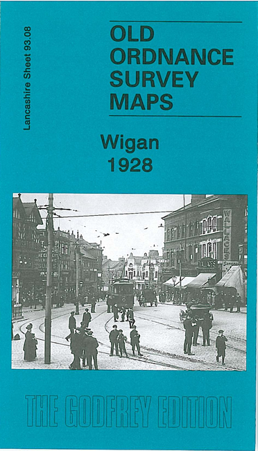
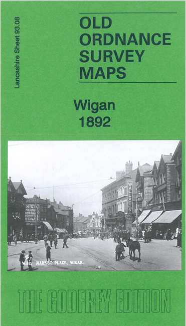
 Here are the details of maps for central Wigan:
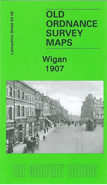

We have published three versions of this map, showing how the area developed across the years. They are very detailed and busy maps, covering the central area of Wigan, plus part of Ince in Makerfield. Coverage stretches from Wallgate eastward to Belle Green Lane, and from the Gidlow Mill (extreme top left corner) southward to Chapel Lane.
The many features include the town centre, with Market Hall, church, Mining College, Standishgate, Wallgate, Hallgate, King Street, Library Street etc; railways, including the NW, Wallgate and Central stations, with track layouts given; part of the LNWR Springs Branch and Lancashire Union lines, incl Round House Junction and part of Round House Branch; Leeds & Liverpool Canal, including flight of locks; Rose Bridge Collieries, Ince Hall Colliery (East Pit), Round House Colliery, old shafts, Clarington Forge; Kirkless Hall, Ince Hall, Peel Hall, Manchester Road, Higher Ince, tramways, Scholes, Longshoot, Central Park football ground.
The map links up with sheets 93.04 Wigan North to the north, 93.07 Wigan West to the west, 94.05 Kirkless to the east and 93.12 Ince in Makerfield to the south.