Old Ordnance Survey Maps of Kincardineshire
 We have published just the one map in Kincardineshire, taken from the OS 1:2,500 maps and reduced to approx 14 inches to the mile. Each covers an area of a mile by a mile and a half, and shows the area in great detail, including individual buildings.
Maps are available through our On-line Mapshop.
Information pages are given for individual titles; simply follow the links below.
We have published just the one map in Kincardineshire, taken from the OS 1:2,500 maps and reduced to approx 14 inches to the mile. Each covers an area of a mile by a mile and a half, and shows the area in great detail, including individual buildings.
Maps are available through our On-line Mapshop.
Information pages are given for individual titles; simply follow the links below.
These are the detailed maps currently available in our Kincardineshire series:
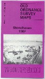
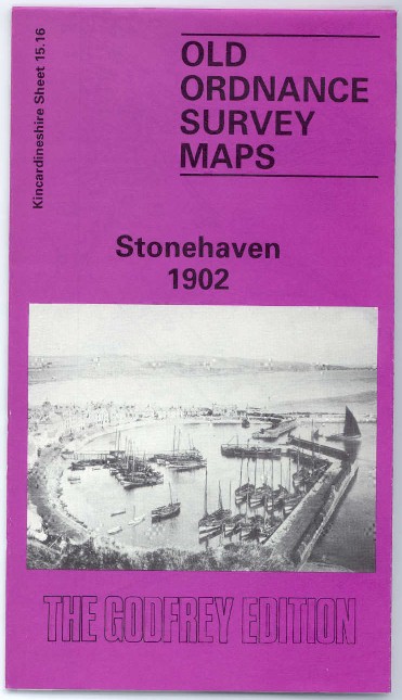
Sheet 15.16 Stonehaven 1902 - published 1993; introduction by David M Bertie
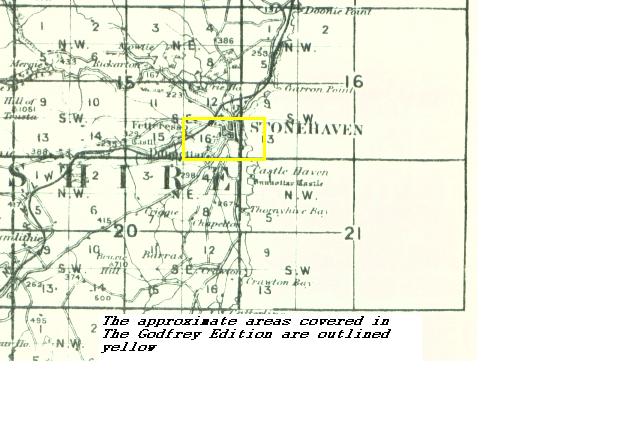
You might find this index map useful.
Most maps in the Godfrey Edition are taken from the 25 inch to the mile map and reduced to about 15 inches to the mile.
They cost just £ 3.00 each. For a full list of Scottish maps, return to the Scotland page
You can order maps direct from our On-line Mapshop. They are also available from various
local outlets.
Alan Godfrey Maps, Prospect Business Park, Leadgate, Consett, DH8 7PW. Tel 01207 583388
The Godfrey Edition / sales@alangodfreymaps.co.uk / 14 March 2016
 We have published just the one map in Kincardineshire, taken from the OS 1:2,500 maps and reduced to approx 14 inches to the mile. Each covers an area of a mile by a mile and a half, and shows the area in great detail, including individual buildings.
Maps are available through our On-line Mapshop.
Information pages are given for individual titles; simply follow the links below.
We have published just the one map in Kincardineshire, taken from the OS 1:2,500 maps and reduced to approx 14 inches to the mile. Each covers an area of a mile by a mile and a half, and shows the area in great detail, including individual buildings.
Maps are available through our On-line Mapshop.
Information pages are given for individual titles; simply follow the links below.