Old Ordnance Survey Maps of Kent

  • These detailed maps normally cover an area of about one and a half miles by one mile. Each map includes an introduction.
  • They are available through our On-line Mapshop

  • Here are the details of maps for Swanscombe:

  • Kent 10.05 Swanscombe 1907 - published 2022; intro by Pamela Taylor. ISBN.978-1-78721-531-3

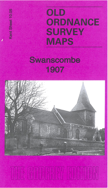
    This detailed map covers the village of Swanscombe and the western tip of Northfleet.

    Features include St Peter & St Paul's church, Sweyn's Camp, Milton Street, Swanscombe village with individual buildings neatly shown, quarries and chalk pits,New Barn, Ebbsfleet, Northfleet House, Northfleet station etc.

    The map links up with sheet 10.01 Swanscombe North to the north and 10.06 Northfleet to the east.


  • For other maps in Kent see our Kent Series maps. For other information and prices, go to The Index Page.
  • Maps in the Godfrey Edition are taken from the 25 inch to the mile map and reduced to about 15 inches to the mile. For a full list of maps for London, return to the London page
    The Godfrey Edition / sales@alangodfreymaps.co.uk / 23 September 2022