
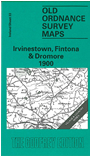
 Here is information about Sheet 33:
This Inch to the Mile map covers western Tyrone plus a small portion of Fermanagh. Coverage stretches from Irvinestown northward to Drumquin and eastward to Seskinore.
Features include the major town of Omagh, stretches of the Great Northern Railway plus Fintona branch, Dooish, Bin Mountain, Pollnalaght, Tappaghan Mountain, Lough Bradan etc. On the reverse we include detailed plans for three small towns: Irvintesown, incl station, Workhouse, Concert Hall, Castle Irvine School, Main Street with buildings shown. Dromore, incl Main Street with buildings, church and rectory, Stoneybatter. And Fintona, with station, Fair Green, Liskey, Edenasop West, churches, Main Street with buildings shown, Market Place.
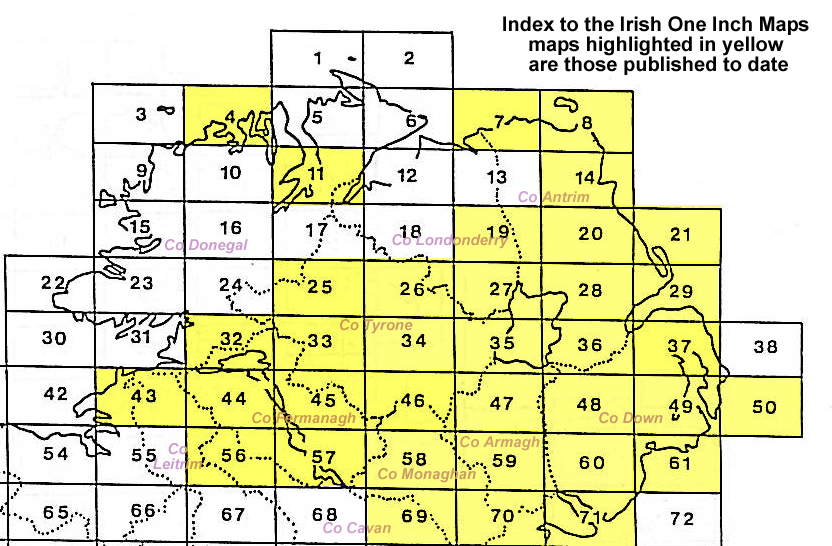
It is not possible to list the many hamlets, farmsteads and other topographical features shown on these maps. However, you may find it useful if we list the towns and principal villages or church parishes that are included on this map. Links are given for those for which detailed large-scale maps are also available.