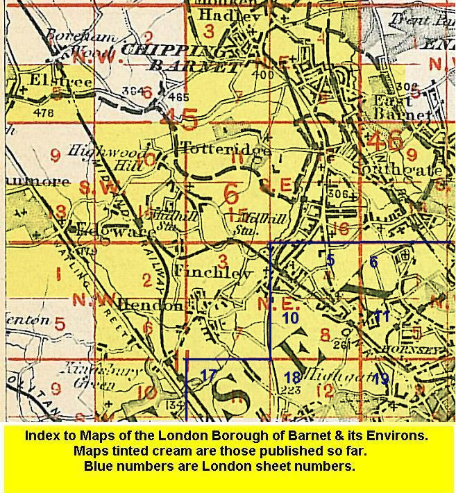
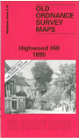
Old Ordnance Survey Maps of Highwood Hill


We have published more than 1,800 maps in our series of Old Ordnance Survey Map reprints, some 300 of them in the London area. The maps are highly detailed. They are taken from the OS 1:2,500 (or 25 inch) maps and reduced to about 15 inches to the mile. They show streets with individual houses, tram tracks, railway tracks and even signals, factories, wharves and such details as fountains and water troughs. They will provide hours of fascination for historians and genealogists. The maps are neatly folded and each includes a specially written introduction to the area. Maps can be purchased on our On-line Mapshop where further information about titles is given. For other information and Prices, see Index Page.


Here are the details of maps for Highwood Hill:

  • Middlesex Sheet 6.10 Highwood Hill 1895 - published 1995; introduction by Jill Barber

    This very rural map shows the hamlet of Highwood Hill, in Hendon parish. A handful of large houses are shown, including Moatmount, Highwood House and Hendon Park, while at the foot of the map is the Plough Inn, along with St Mary's Abbey & St Margaret's Industrial School. Although a rural map, the essay by Jill Barber tells us how much of interest has happened here; William Wilberforce and Sir William Raffles are among notable residents.

    An index map will be added here later. The map links up with Middlesex Sheets 6.07 Barnet Common to the north, 6.11 Totteridge to the east, 6.14 Mill Hill Broadway to the south.


    Follow this link for a complete list of our London & Middlesex maps .

    You can order maps direct from our On-line Mapshop. For other information and Prices, see Index Page.


    Maps in the Godfrey Edition are taken from the 25 inch to the mile map and reduced to about 15 inches to the mile. For a full list of maps for London, return to the London page.

    The Godfrey Edition / godfreyedition@btinternet.com / 10 Sept 2005