
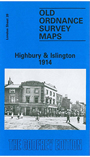
 Here are the details of maps for Islington & Highbury:
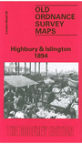

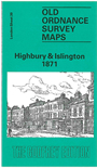
We have published three versions of this map, showing how the area developed across the years. The maps each cover the same area, York Road eastward to Rotherfield Street, and from Cloudsley Square northward to Witherington Road. Highbury & Islington station is near the centre of the map, which covers much of Islington and also southern Highbury. Barnsbury and Canonbury are also included. Major roads running through the map include Upper Street, Essex Road, Liverpool Road and Caledonian Road. These are very busy maps and features include the Kings Cross railway approaches; North London Railway, including Canonbury, Highbury & Islington, Caledonian Road and (at extreme west edge) Maiden Lane stations; Metropolitan Cattle Market, Belle Isle, Thornhill Square, Lonsdale Square, Highbury Fields, Milner Square, Canonbury Square, Islington Town Hall, Peabody Square. The major feature is innumerable streets of housing, Barnsbury area to west, Canonbury to east.
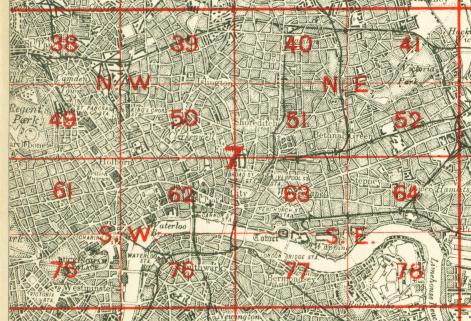
The map links up with London Sheets 29 Upper Holloway to the north, 38 Kentish Town to the west, 40 Dalston to the east, 50 Clerkenwell to the south.
 Follow this link for a complete list of our London maps .
You can order maps direct from our On-line Mapshop. For other information and prices, and other areas, go to The Index Page.
Maps in the Godfrey Edition are taken from the 25 inch to the mile map and reduced to about 15 inches to the mile. For a full list of maps for England, return to the England page.
Alan Godfrey Maps, Prospect Business Park, Leadgate, Consett, Co Durham, DH8 7PW / sales@alangodfreymaps.co.uk / 1 August 2016