Old Ordnance Survey Maps of Neath


We have published more than 2,000 maps in our series of Old Ordnance Survey Map reprints, and have now started work on a group for Glamorgan. The maps are highly detailed. They are taken from the OS 1:2,500 (or 25 inch) maps and reduced to about 15 inches to the mile. Each covers an area of a mile and a half by a mile. They show streets with individual houses, tram tracks, railway tracks and even signals, factories, wharves and such details as fountains and water troughs. They will provide hours of fascination for historians and genealogists. The maps are neatly folded and each includes a specially written introduction to the area. Maps can be purchased on our On-line Mapshop where further information about titles is given. Or visit The Index Page for a full list to the series and details of Prices.


  • Here are the details of maps for Neath:

  • Glamorgan Sheet 16.09 Neath 1935 - published 2008; introduction by Steph Mastoris

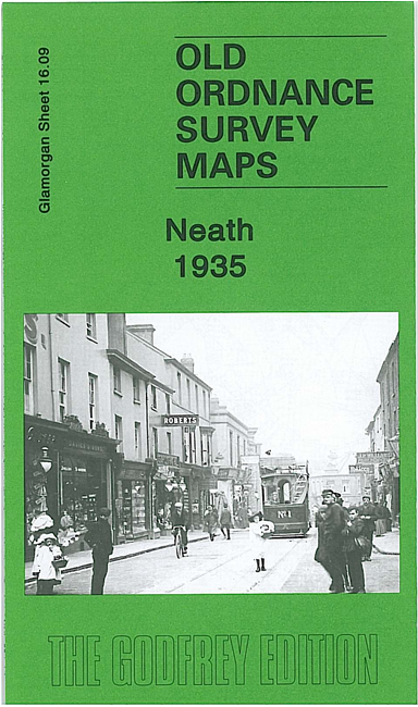
    This very detailed map covers the centre of Neath, with some coverage northward across the River Neath. Coverage stretches from Cimla Road and Arthur Street northward to St Cattwg's church at Cadoxton and eastward to Fishpond Wood. Features include GWR main line with Town station, GWR Neath Branch with Canal Side station, Vale of Neath line with Low Level station, GWR Neath & Brecon line; Gnoll House, St Illtyd's church, Neath Canal, Victoria Gardens, St Thomas church, Market, Cattle Market, St David's church, Castle Nedd, Pen-y-dre, County School, Vale of Neath Brewery, Tennant Canal, engine shed, Cadoxton-Juxta-Neath, Cadoxton Place etc. On the reverse we include a 1906 directory list of private residents, plus a 1929 timetable for the Court Sart branch.


    Follow this link for a complete list of our Glamorgan maps.

    You can order maps direct from our On-line Mapshop. For other information and prices, and other areas, go to The Index Page.


    Maps in the Godfrey Edition are taken from the 25 inch to the mile map and reduced to about 15 inches to the mile. For a full list of maps for Wales, return to the Wales page.

    The Godfrey Edition / godfreyedition@btinternet.com / 28 December 2007