Old Ordnance Survey Maps of Erith


We have published more than 2,400 maps in our series of Old Ordnance Survey Map reprints, including a group in Kent. The maps are highly detailed. They are taken from the OS 1:2,500 (or 25 inch) maps and reduced to about 15 inches to the mile. Each covers an area of a mile and a half by a mile. They show streets with individual houses, tram tracks, railway tracks and even signals, factories, wharves and such details as fountains and water troughs. They will provide hours of fascination for historians and genealogists. The maps are neatly folded and each includes a specially written introduction to the area. Maps can be purchased on our On-line Mapshop where further information about titles is given. Or visit The Index Page for a full list to the series and details of Prices.


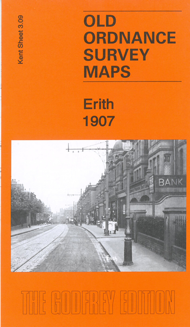
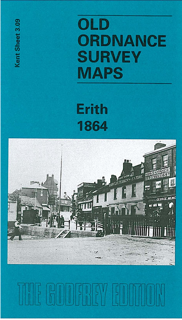
Here are the details of maps for Erith:

  • Kent Sheet 3.09 Erith 1864 - published 1998; introduction by John A Prichard

    This detailed and early Ordnance Survey map covers the Thames-side village of Erith. St John's church is near the top of the map and coverage continues south and east down West Street and High Street to cover the busy village centre. Beyond this are Erith Gardens, with Erith Pier and the Pier Hotel; in 1842 the Guardians of the Wheatley Estate, which owned most of Erith, had tried to develop the village as a resort. The Wheatley Estate would be sold off in 1874, however, so this map captures Erith at an interesting earlier stage. Other features include Cray Coal Wharf, Randell Street, The Wheatley Arms, station, The Villas, Anchor Bay, Upper Ballast Wharf with tramway. A very small portion of Essex is included across the river, showing Coldharbour Point.

    The map links up with Kent Sheets 2.12 Belvedere to the west and 3.13 Barnehurst to the south.


    Follow this link for a complete list of our Kent Series maps.

    You can order maps direct from our On-line Mapshop. For other information and prices, and other areas, go to The Index Page.


    Maps in the Godfrey Edition are taken from the 25 inch to the mile map and reduced to about 15 inches to the mile. For a full list of maps for Kent, return to the South East page

    10 Jan 201117 October 2005