Old Ordnance Survey Maps of Edinburgh (SE)


We have published more than 2,400 maps in our series of Old Ordnance Survey Map reprints; this includes more than 150 in Scotland, with a good range of maps around Edinburgh. The maps are highly detailed. They are taken from the OS 1:2,500 (or 25 inch) maps and reduced to about 15 inches to the mile. Each covers an area of a mile and a half by a mile. They show streets with individual houses, tram tracks, railway tracks and even signals, factories, wharves and such details as fountains and water troughs. They will provide hours of fascination for historians and genealogists. The maps are neatly folded and each includes a specially written introduction to the area. Maps can be purchased on our On-line Mapshop where further information about titles is given. Or visit The Index Page for a full list to the series and details of Prices.


Here are the details of maps for Edinburgh (SE):
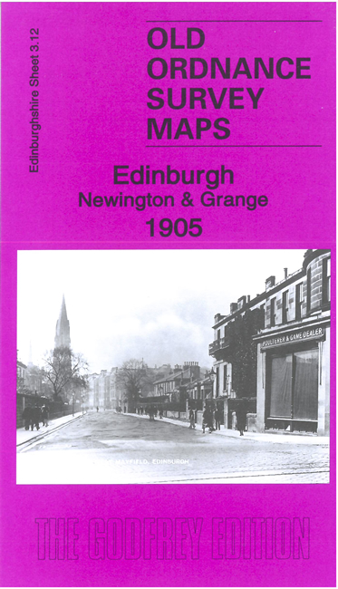
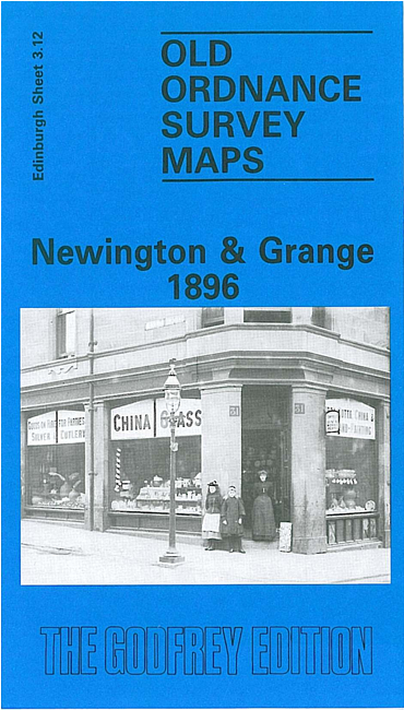
  • Edinburghshire Sheet 3.12 Newington & Grange 1896 - published 1983; intro by Barbara & R.J.Morris. ISBN.978-0-90755-455-4

    This detailed map covers a busy area of south Edinburgh, with coverage stretching from Mansion House Road eastward to Prestonfield, and from George Square and Arthur's Seat southward to St Alban's Road and Mayfield church.

    Features on the map include St Leonard's area, Newington area, Mayfield area, Prestonfield, Arthur's Seat, NBR St Leonard's Branch, St Leonard's station and coal depot, Grange area, Sciennes area, East Meadow Park, Parkside Works, tramways, NBR Suburban line with Newington station, Buccleugh Place, St Peter's church, Newington Cemetery etc. On the reverse we include street directory entries for Causewayside, Clerk Street, Clerk Street South, Newington Road, Mayfield Road/Terrace, Minto Strreet.

    The map links up with Edinburgh Sheets 3.08 Holyrood to the north, 3.11 Merchiston to the west, 3.16 Liberton Dams to the south.


    You might find this index map useful.


    Follow this link for a complete list of our Edinburgh maps.

    You can order maps direct from our On-line Mapshop. For other information and prices, and other areas, go to The Index Page.


    Maps in the Godfrey Edition are taken from the 25 inch to the mile map and reduced to about 15 inches to the mile. For a full list of maps for Scotland, return to the Scotland page.

    The Godfrey Edition / godfreyedition@btinternet.com / 9 Dec 2010