
 Here are the details of maps for Dulwich:

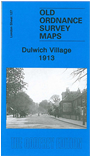
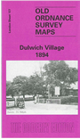
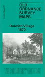
We have published three versions of this map, showing how the area developed across the years. The maps each cover the same area, stretching from Gallery Road eastward to Honor Oak Road, and from Camberwell Cemetery southward to Thorpewood Avenue. They cover Dulwich Village, the area around Dulwich College, and much of Lordship Lane. Features include Dulwich College itself, Dulwich Park, Dulwich Gallery, Adon Mount, Horniman Museum. The Crystal Palace line runs through the map, which includes Lordship Lane and Honor Oak stations. Note that on the 1870 version a small portion of the map is left blank as being in Kent. The maps provide an enjoyable portrait of a changing area.
The 1913 version has been revamped in 2006 and now has more extensive street directory extracts, including directories for College Rd, Court Lane, Dulwich Village, part of Lordship Lane, Melford Road, Overhill Road, Sydenham Hill, Underhill Road and Upland Road.
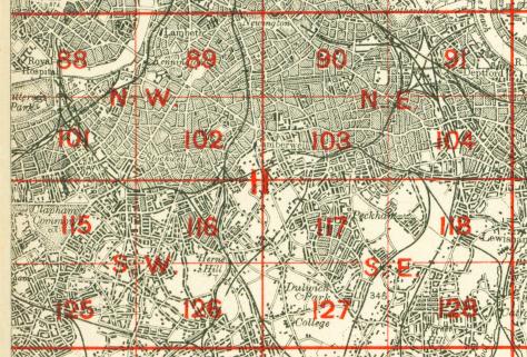
The map links up with London Sheets 117 East Dulwich to the north, 126 Streatham Hill to the west, 128 Forest Hill to the east, 137 Upper Sydenham to the south.
 Follow this link for a complete list of our London maps .