 Here are the details of maps for Derby (NW):

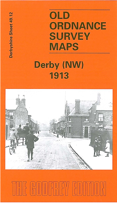
This detailed map covers the NW part of Derby, with a portion of Markeaton. Coverage stretches from Slack Lane northward to Markeaton Hall, and from Friargate station westward to Humbleton Farm.
Features include GNR railway approaches with Friargate station, engine shed, much of Friargate Ward, much of Markeaton Ward, Nuns Bridge, New Zealand area, Ashbourne Road area, Kedleston Road area, western part of Friargate, St Anne's church, St Barnabas church, Park Fields House, Markeaton Hall, Markeaton Park, Britannia Mills, Railway Servants Orphanage, Manchester Brewery, tramways, St Aidan's church etc. On the reverse we include 1891 street directory entries for Agard Street, Ashbourne Road, Bass Street, Bridge Street, Brook Street, Friargate, Nuns Street, Radbourne Street, Uttoxeter Old Road, Markeaton.
The map links up with Derbyshire sheets 49.16 Derby SW to the south and 50.09 Derby North to the east.