Old Ordnance Survey Maps of Derbyshire

  • These detailed maps normally cover an area of about one and a half miles by one mile. Each map includes an introduction.
  • They are available through our On-line Mapshop

  • Here are the details of maps for Bolsover:

  • Derbyshire Sheet 26.05 Bolsover (West) 1897 - published 2011; intro by Barrie Trinder. ISBN.978-1-84784-538-2
  • Derbyshire Sheet 26.06 Bolsover 1897 - published 2011; intro by Barrie Trinder. ISBN.978-1-84784-537-5

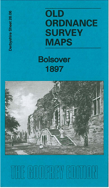
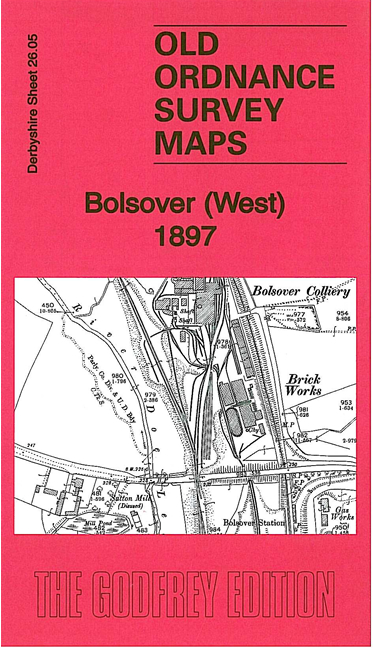
    We have published a pair of maps for Bolsover. They link up with each other to give good coverage of the town.

    Sheet 26.06 is the principal map and covers the town itself, including the Castle, St Mary's church, Market Place etc. Coverage extends north to Limekiln Field and Over Woodhouse, and westward to New Bolsover, incl the tramway to the houses. An 1891 directory is included on the reverse.

    Sheet 26.05 extends coverage westward to include Bolsover Colliery and a complicated railway system that includes the Midland Railway Bolsover station and Markham Junction. Coverage also includes Longcourse Farm and Long Duckmanton as well as extracts from Bulmer's History & Topography of Derbyshire 1895.


  • Follow this link for a list of our maps for Derbyshire.
  • You can order maps direct from our On-line Mapshop. For other information and prices, and other areas, go to The Index Page.
  • Maps in the Godfrey Edition are taken from the 25 inch to the mile map and reduced to about 15 inches to the mile. For a full list of maps for England, return to the England page.
    Alan Godfrey Maps, Prospect Business Park, Leadgate, Consett, Co Durham, DH8 7PW / sales@alangodfreymaps.co.uk / 25 November 2016