
 Here are the details of maps for Creekmouth:

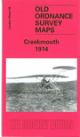
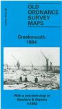
We have published two versions of this map, showing how the area developed across the years. The maps each cover the same area, which is centred on Barking Creek, where the River Roding meets the Thames. At the time Creekmouth was described as "an isolated hamlet of Barking - seldom visited by ordinary visitors or noticed by historians". Much is marshland. However, the left side of the map does include a significant part of the vast Beckton Gas Works, with its many sidings etc, and Beckton Pier. There is a chemical works east of the Creek and small communities at Creekmouth and Gallions Cottages. By 1894 the Barking fishing fleet had largely disappeared; however, Tony Clifford tells how in 1909 Frederick Handley Page was using Creekmouth for an experimental aircraft factory. The map covers the Thames and the Plumstead Marshes shoreline opposite.
There is a bonus with the 1894 map, for on the reverse of this we have included an Inch to the Mile Map, from c.1870. This covers the area east of London, from Plaistow, Wanstad, Woodford, Loughton and Buckhurst Hill eastward to Billericay, and including Barking, Ilford, Romford, Brentwood, Rainham, Dagenham, Orsett, Havering atte Bower, Chigwell, Mountnessing, Hornchurch, Horndon on the Hill.
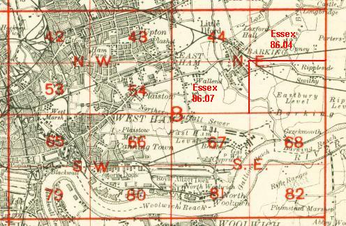
The map links up with London Sheets 67 Beckton to the west, 82 Plumstead Marshes to the south.
 Follow this link for a complete list of our London maps .