Old Ordnance Survey Maps of Buckinghamshire

  • These detailed maps normally cover an area of about one and a half miles by one mile. Each map includes an introduction.
  • They are available through our On-line Mapshop

  • Here are the details of maps for Winslow:

  • Buckinghamshire 19.10 Winslow 1923 - published 2022; intro by Barrie Trinder. ISBN.978-1-78721-549-8

    This detailed map of Winslow is double-sided for maximum coverage.

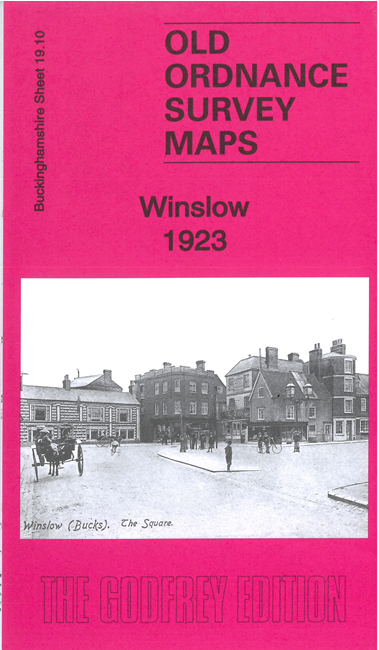
    The main map covers the town centre, with its High Street, St Lawrence's church, Market Square, cattle market, Poor Law Institution, railway with station, Shipton, Winslow Hall etc, with coverage extending eastward to Abovemead Farm.

    On the reverse we include part of adjacent sheet 19.09 covering the western part of the town, including Western House, Tinkers End, Horn Street etc

    The map includes a specially written introduction to the history of the area by Barrie Trinder.


  • Follow this link for a complete list of our Buckinghamshire or Milton Keynes maps. For other information and prices, and other areas, go to The Index Page.
  • Most maps in the Godfrey Edition are taken from the 25 inch to the mile map and reduced to about 15 inches to the mile. For a full list of maps for the Buckinghamshire region, return to the Thames & Chilterns page
    The Godfrey Edition / sales@alangodfreymaps.co.uk / 28 June 2022